GIS and Asset Management
Today's technologies afford us the ability to manage massive quantities of geospatially-related information. Geographic information systems (GIS) are used to facilitate management and use of this information at all scales. For over 10 years, Singhofen & Associates, Inc. (SAI) has been providing GIS solutions to our clients. We use the latest ESRI software including ArcInfo and numerous extensions and/or add-ins (e.g. 3-D Analyst, Spatial Analyst, LP360, etc.) as well as our own proprietary GIS tools to streamline our work processes. Multiple programming languages are used in-house to develop custom tools for GIS and database applications. The GIS specialists at Singhofen & Associates, Inc. provide the following services:
- GIS data structure design (customized for end users)
- GIS data management (infrastructure, water quality data, etc.)
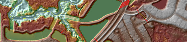
- Informational mapping (floodplains, utilities, etc.)
- Modeling and analysis
- DTM/DEM development and LiDAR data QC
- GIS for construction design (earthwork, terrain meshing, etc.)
- Asset inventory field data collection
- Asset inventory GIS development and management
- GIS training
- Data migration services
- Document scanning and GIS integration